


Blue Ridge Parkway Guide 2025
Updated 8/29/25 If you're dreaming of mountain vistas, winding roads, and fresh mountain air, you're not alone. The Blue Ridge Parkway remains one of the most beloved scenic drives in America. And after the impact of Hurricane Helene in late 2024, many are wondering: What’s open for 2025 near Bryson City? While much of the Parkway in our area has reopened, some sections further west and north of Asheville are still under repair. To help you plan the perfect trip, we’ve created our 2025 Blue Ridge Parkway Guide—a simple guide to what's open in the southern end of the Parkway, specifically the points closest to Bryson City.
Milepost Guide: While mileposts on the Parkway start at the northern end near Waynesboro, Virginia, the terminus is located at Milepost 469 near Cherokee, North Carolina, the closest entrance to Bryson City.:
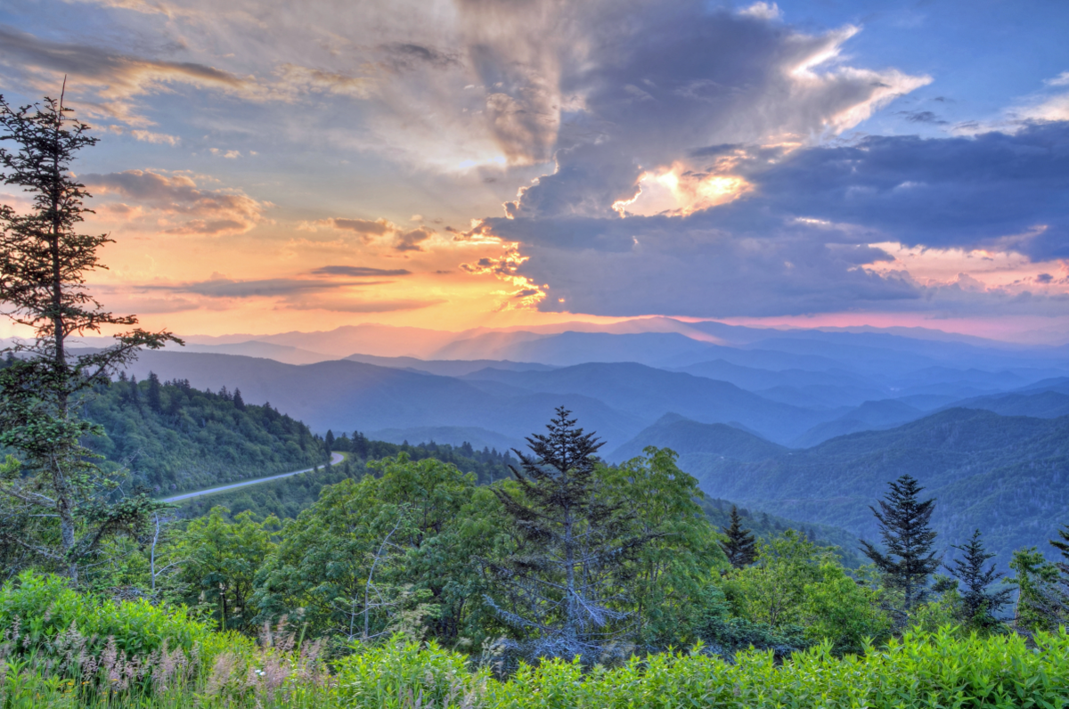
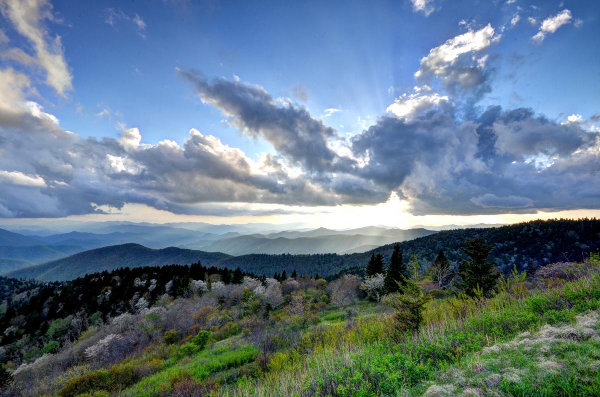
This gorgeous stretch from Cherokee (Mile Post 469) to Asheville's Folk Art Center (Mile Post 382) is fully open and includes some of the most iconic overlooks in the region. Whether you’re leaf-peeping in the fall or chasing sunrise views in the summer, this section delivers.
Favorites:
-
📍 Woolyback Overlook - Milepost 452.3
-
📍 Waterrock Knob - Milepost 451.2
-
📍 Cowee Mountain Overlook - Milepost 430.7
-
📍 Caney Fork Overlook - Milepost 428
-
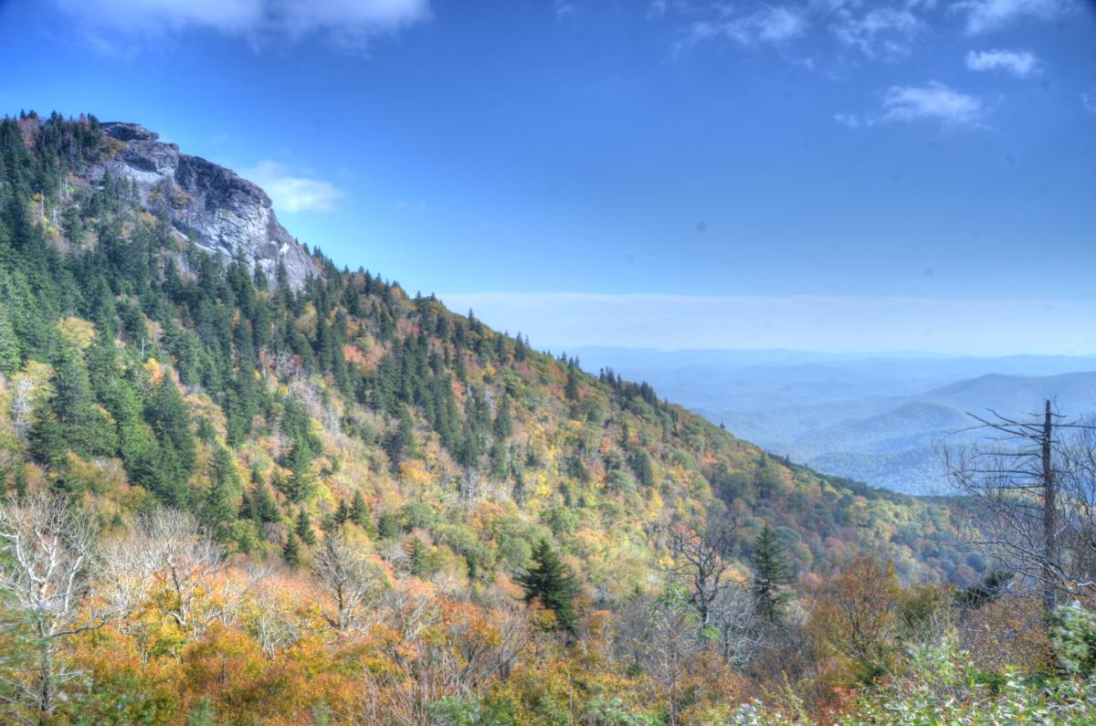
📍Devil's Courthouse - Milepost 422.4: Although Devil's Courthouse was closed for road repairs after Hurricane Helene, it reopened in late August 2025.
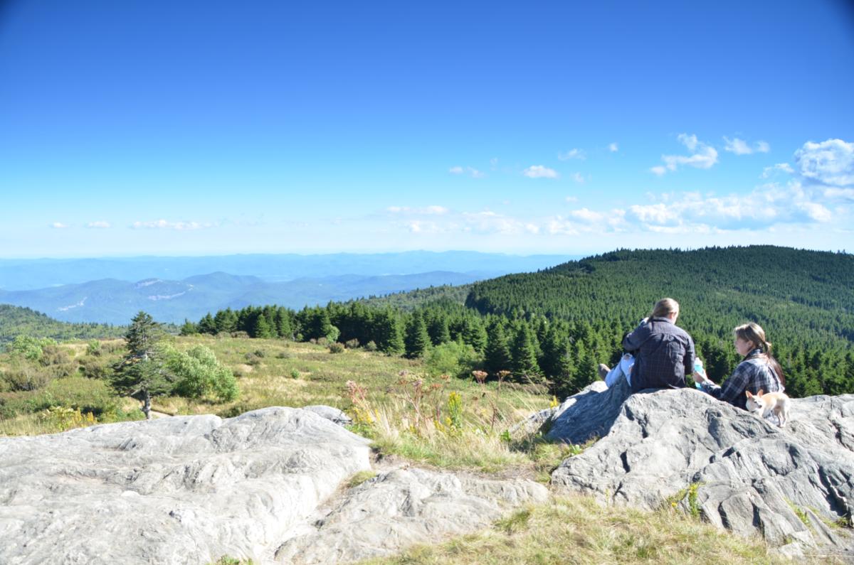
📍 Black Balsam - Milepost 420.2
-
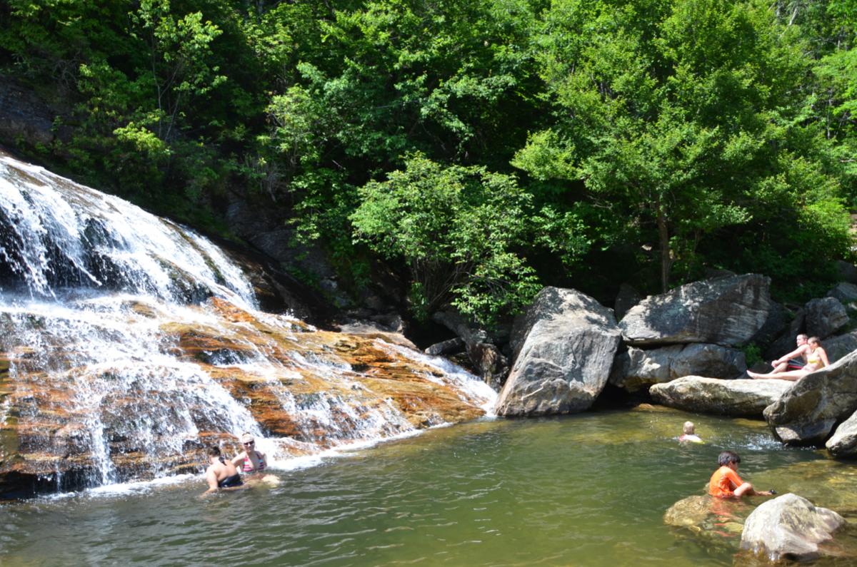
📍Graveyard Fields - Milepost 418.8 (Lower Falls at Graveyard Fields shown below)
Best Access Points:
-
Hwy 441 (Cherokee, near the entrance to Great Smoky Mountains National Park, and the closest entrance to Bryson City)
-
Hwy 19 (Maggie Valley)
-
Hwy 74/23 (Waynesville)
-
Hwy 215 (between Rosman and Canton)
⚠️ Note: The Blue Ridge Parkway is temporarily closed due to damage from Hurricane Helene, at the Folk Center in Asheville, near milepost 383 and remains closed to milepost 314
Planning Tips:
-
Check weather conditions before your trip—spring and early summer can still bring fog and rain at higher elevations.
-
Bring layers! Temperatures on the Parkway can be 10–15 degrees cooler than the valleys below.
-
Download offline maps or bring a paper map—cell service can be spotty along the Parkway.
